

Paragon Station Lofts (316 W 200 S):
Then (2011):

The former Westgate Business Center as it was in 2011. Image by Google street view.
Now (2016):

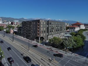
The Paragon Station Lofts as seen from the intersection of 300 West and 200 South. Photo by Isaac Riddle.
Then (2011):
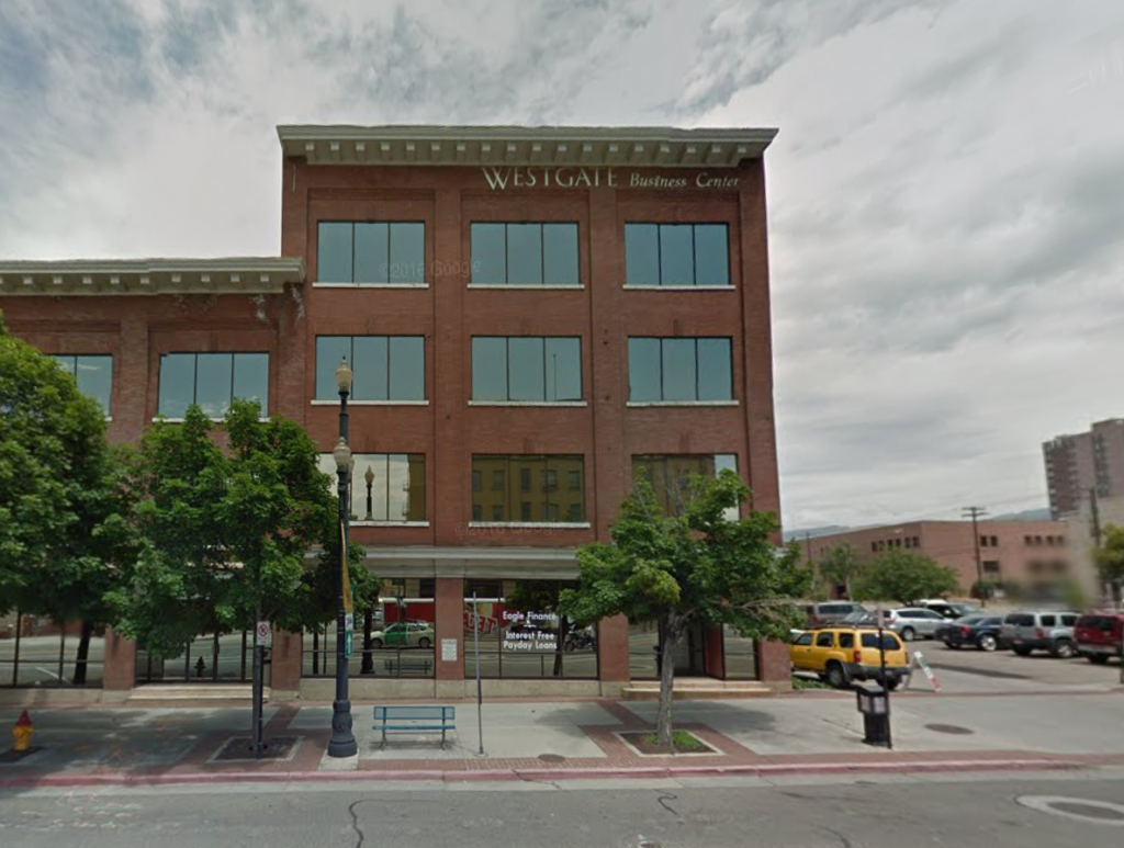
The former Westgate Business Center as it was in 2011. Image by Google street view.
Now (2016):

The Paragon Station Lofts as seen from 200 South. Photo by Isaac Riddle.
Then (2011):

The former Westgate Business Center as it was in 2011. Image by Google street view.
Now (2016):

The Paragon Station Lofts as seen from 300 West. Photo by Isaac Riddle.
Then (2011):

The former Westgate Business Center as it was in 2011. Image by Google street view.
Now (2016):

The Paragon Station Lofts as seen from 300 West. Photo by Isaac Riddle.











The School Improvement Network building turned out pretty nice.
School Improvement Network = SIN. Seriously, they really didn’t think that one through.