
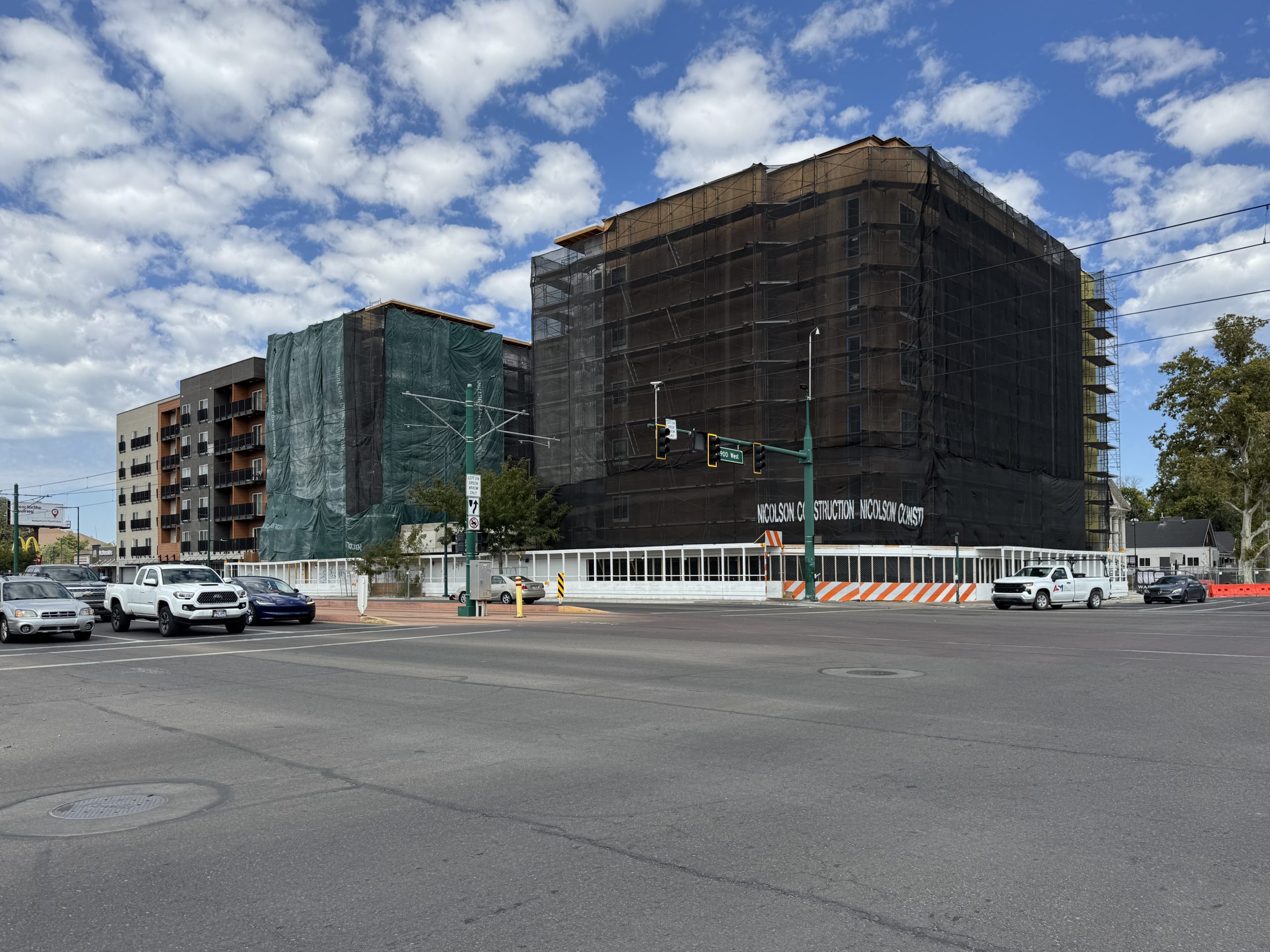
It’s been over three decades since Salt Lake City updated its Northwest Community Plan, and city staff believes the neighborhoods have missed out on part of the city’s growth.
The city’s northwestern neighborhoods need more mixed-use areas and updated zoning, according to a recent staff report from the city’s planning division. The city’s ongoing growth and need for more west side businesses were cited as some of the reasons why the Salt Lake City Planning Commission is in the process of updating the community plan, which the commission discussed Wednesday night.
The Northwest Community Plan pertains to neighborhoods like Jordan Meadows, Rose Park, Fairpark, Westpointe and a portion of Poplar Grove. Its boundaries are the city limits to the north, Interstate 80 to the south, Interstate 15 to the east and 2200 West to the west. Though the recently-annexed Northpoint area is close by, that area has its own community plan with different goals and land uses — like focusing on light industrial space — than the Northwest Community Plan.
Since 1992 when the latest approved plan was adopted, there’s been substantial change in this area, as additions include the creation of TRAX, the Jordan River Parkway Trail and population growth.
It’s no secret that Salt Lake City’s west side has fewer amenities than neighborhoods to the east of I-15, but the recent staff report outlined these neighborhoods haven’t grown as quickly as other parts of the city. Population increased citywide by 12.3% between 2010 and 2023, but only grew in the Northwest area by 9% in that time.
“To address the continued population growth and community needs, the Plan calls for the addition of mixed-use corridors and new mixed-use opportunities for local and regional businesses,” the staff report says. One of those mixed-use areas will be the Power District, which the city estimates will add between 5,000 and 10,000 housing units to this area.
As of now, around 35% of the land in these neighborhoods is zoned for residential and 29.2% of the neighborhood land is zoned for manufacturing, the community plan draft says. Another 18% is zoned for open space and public land. The draft says 12% of land has mixed-use zoning, while 2.6% of land is zoned for business park and the remaining 2.8% of land is zoned for the Jordan River Fairpark district.
Kelsey Lindquist, a planning manager for Salt Lake City, told the planning commission the future land use map, “outlines a long-term vision for growth, identifies property with catalytic development potential, expands opportunities for small-scale businesses and supports increased residential density.”
Lindquist said some of the key differences between the current land use map and the future map in the draft plan include locating corridors for potential mixed-use projects and areas that could see higher density developments. She said another update in the map would be to create mixed-use projects along the Jordan River and encourage activation.
The draft report says mixed use corridors are, “a significant need throughout the community due to a lack of land zoned for commercial businesses.”

A draft of the Northwest Community Plan’s future land use map. Image via Salt Lake City
The draft plan says streets like 1000 North, 600 North, 300 North, 1200 West and 900 West could have a low-scale mixed-use land use designation, which would allow two or three story structures. Though some mixed-use developments and retail already exist along these streets, like Culture Coffee at the corner of 900 West and 300 North, much of the current zoning in these areas is for single-family residential.
An example of this sort of low-scale land use would be the smaller commercial buildings in Central 9th, as a photo of Laziz Kitchen and the Central 9th Market is included in the draft plan.
Existing commercial nodes — like around the intersection of 700 North and Redwood Road, which includes a grocery store, restaurants and other businesses — would see greater allowable scale in the draft plan. Commercial buildings around this particular intersection have either MU-3 or MU-5 zoning, and in the future land use map, these buildings would be allowed to have up to six stories in height.
Greater density for the mixed-use areas would be focused along busier corridors, like North Temple and Redwood Road. The greatest level of density would be reserved for the Power District, the plan’s future land use map indicates. The Power District carries height caps of up to 200 feet by right and up to 400 feet through a design review, according to the city’s zoning code.
Another notable feature of the future land use map is for increased heights to the south of North Temple. Currently, a number of parcels in this area that abut the Jordan River are zoned as Light Manufacturing (M-1) or Business Park (BP). The proposed future land use map shows those areas could be designated as Urban Neighborhood Mixed-Use, which would include multifamily residential uses with heights up to 12 stories.
The draft plan also identifies a handful of areas where moderate to high density residential (40-60 dwelling units per acre) could be built in the area. These types of areas would focus on residential uses and act as a buffer between higher density mixed-use areas and established neighborhoods, the draft plan says.
While many of these areas already contain multifamily housing, one site noted in the plan that could house high-density residential housing is the former Mary W. Jackson Elementary School, located along 200 North and 700 West, which closed in 2024. Of the former elementary school, the draft plan says, “redevelopment is anticipated if the school does not reopen.”
The planning commission opted to table any vote on the draft community plan, as planning staff suggested the move to provide more time for public input. It’s not clear when the commission could vote on the plan, nor is it clear when it could be discussed by the Salt Lake City Council.







0 Comments